


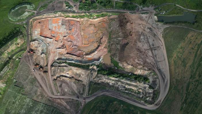
Quarries, earthworks and large material yards are never idle. Trucks haul away product, new deliveries form new piles, grading changes the surface from week to week. Traditional measurement can disturb operations, or require people to walk on loose, steep material. Another means of gauging volume and progress is a repeatable aerial record, so long as each survey is taken and checked with the same discipline.
The apparent simplicity of a 3D model can hide several choices. The final number is dependent on the boundary of a stockpile, the base surface used for comparison and the treatment of vegetation or machinery. So good measurement takes more than a flight. It requires a defined purpose, reliable control and an agreed method of separating the material of interest from the surrounding ground.
A Repeating Story of Change
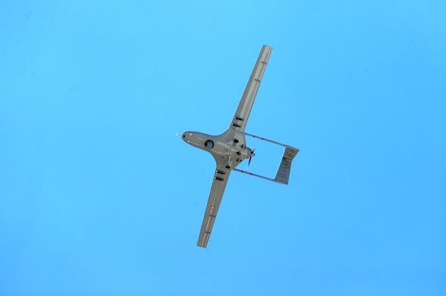
UAV surveying can quickly cover large areas of operation and create up-to-date surface data to help with volume checks, progress reporting, and site planning. The strength is in its repeatability. By flying flights with consistent parameters and stable control, managers can compare one period with another without having to rely on scattered photos or estimates made from ground level.
The project should specify whether the priority is inventory, cut and fill analysis, visual documentation or design support. Each purpose shapes the product. Some stockpile reports may require clearly defined toes and base assumptions, some earthworks comparison may require compatible surfaces and boundaries. An agreement at the beginning will make it easier to explain and defend the later numbers.
Consistency allows comparison
Repeat flights should be flown in a planned pattern with similar image overlap, altitude and lighting where practical. Strong shadows can hide edges. Rain or dust can alter the look of a surface. The temporary machinery has to be considered as an excavator left next to a pile may be reconstructed as part of the terrain. Future reviewers can learn from the notes of the day about any unusual conditions in the dataset.
Control points and independent checks enable the model to be tested against known positions. This is particularly important when small vertical differences cause large volume changes over a wide area. No evidence of accuracy in a surface that looks smooth. Verification transforms the model from a persuasive picture to a calibrated record for operational decisions.
Accuracy depends on the Base Selected
Volume is a function of surfaces, so the bottom surface is just as important as the top one you see. If you know the original ground, it can be a meaningful base. In the case of an irregular yard, a carefully drawn boundary and interpolated base may be required. The method should be consistent between periods or any apparent change may reflect changed assumptions rather than actual movement of material.
The edges require special attention. Loose material has a tendency to fan out gradually and therefore cannot be defined in terms of toe colour alone. Breaklines, changes in slope and ground observations can all assist in making the boundary more reliable. Where piles abut walls, bins or other stock, the report should describe how separation was achieved. The resulting quantity is easier to audit, there is a clear methodology.
A model is useful only if it is understood
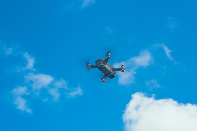
Operational teams rarely need to look at all the points collected during the flight. They want a short output: a table of volumes, a marked plan, a comparison image or an accessible model showing the relevant area. Files should be organised to make dates, coordinate references and processing versions obvious. It’s better to give a brief explanation of the uncertainty than to give a number that seems precise but isn’t.
Consistent aerial records over time can help with forecasting, reconciliation and safer site reviews. They provide a visual record of the changing landscape and assist surveyors, managers and contractors to all begin conversations from the same evidence. The technology is not in the flying but the fact that it makes a moving surface a repeatable, transparent measurement process.






Leave a comment